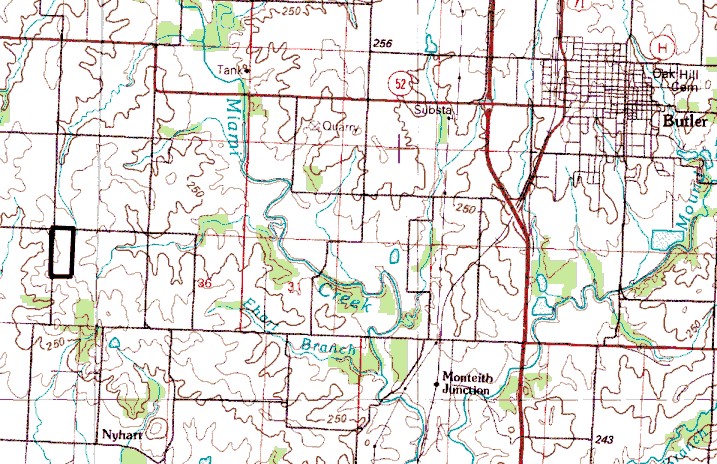
1:100,000 USGS Topographic Map
Butler, Mo. 30 x 60 minute series map
The rectangle deliniates the boundaries of the Toothman farm.
©2000 Chris Tabor
All rights reserved.